
Technology
EmergenCITY AI: your first-pass resilience analyst
EmergenCITY AI is the flagship geospatial resilience intelligence platform developed by Resilitix. Its ResilUS resilience analyst AI agent connects plain-English questions with curated geospatial data and SQL-based computation. It produces four connected outputs—Math, Map, Memo, and Audit—for screening-grade assessments of preparedness and developing threats.
How a question becomes an assessment
The starting point is a question about an area, its communities, its infrastructure, or an evolving hazard. ResilUS connects that question to the available evidence and computation needed for a geospatial assessment. The result brings the numerical findings, their location, and their explanation together.
- Math
- Quantified findings about exposure and potential consequences.
- Map
- A spatial view of where conditions intersect.
- Memo
- A readable briefing that answers the question.
- Audit
- The sources, methods, and assumptions behind the findings.
What the evidence can support
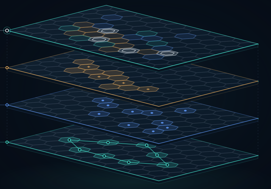
EmergenCITY AI’s assessment approach connects hazards and forecasts with people, vulnerability, infrastructure, and lifelines. Before a threat develops, that context helps teams understand a community. As forecasts change, it helps them examine potential exposure.
An assessment’s usefulness depends on whether its datasets, time period, and geographic coverage fit the question. Sources and assumptions should be reviewed alongside the findings. Human expertise remains central to interpreting what the result means locally.
Questions about EmergenCITY AI
What is disaster AI technology?
Disaster AI technology applies artificial intelligence to questions about hazards, exposure, vulnerability, and disaster-related consequences. Resilitix’s flagship platform, EmergenCITY AI, focuses on geospatial resilience assessment for preparedness and developing threats, using curated evidence and SQL-based computation.
How can AI support emergency management?
AI can support the analytical work involved in understanding communities and potential hazard exposure. EmergenCITY AI helps teams ask plain-English questions and review an assessment through its numerical findings, map, briefing, and supporting methods. The findings support professional judgment and local interpretation.
What is ResilUS?
ResilUS is the resilience analyst AI agent inside EmergenCITY AI. It connects questions with curated geospatial evidence and SQL-based computation to produce a first-pass resilience assessment. Resilitix is the company; EmergenCITY AI is the platform; ResilUS is its agent.
How does EmergenCITY AI support situational awareness?
It connects hazard and forecast information with communities, vulnerability, infrastructure, and essential services. This helps teams examine potential exposure as conditions develop. The assessment should be interpreted in light of the data’s coverage, timestamps, methods, and assumptions.
What do Math, Map, Memo, and Audit mean?
Math provides quantified findings. Map shows their geographic pattern. Memo explains the answer in a readable briefing. Audit identifies the sources, methods, and assumptions behind the findings, helping the reader understand the assessment’s basis.
Does the animation show confirmed disaster impacts?
No. The graphics are conceptual illustrations of the assessment process. The developing-threat animation highlights potential exposure where a forecast overlaps community and infrastructure context. It does not show measured impacts from a real event.
Where can I explore EmergenCITY AI or ask about my organization’s needs?
Explore the platform at EmergenCITY AI, or contact Resilitix to discuss your assessment needs or a potential technology collaboration.